
Empowering Remote Sensing: A Machine Learning Revolution
The Indian EV market has a bright future ahead of it. The business is expanding due to the government’s push for environmentally friendly transportation, advances in battery technology, and rising public awareness of environmental issues. Numerous manufacturers are investing in the development and production of electric vehicles, including both well-established companies and up-and-coming ones.
- Policies and Incentives: The industry’s growth trajectory will be significantly shaped by the continuation of government policies and incentives encouraging the adoption of EVs.
- Battery Manufacturing: By lowering costs and reducing reliance on imports, domestic battery and component production will help make EVs more accessible.
- Charging Infrastructure: By making investments in both urban and rural charging infrastructure, range anxiety will be reduced and more people will be inclined to convert to electric vehicles.
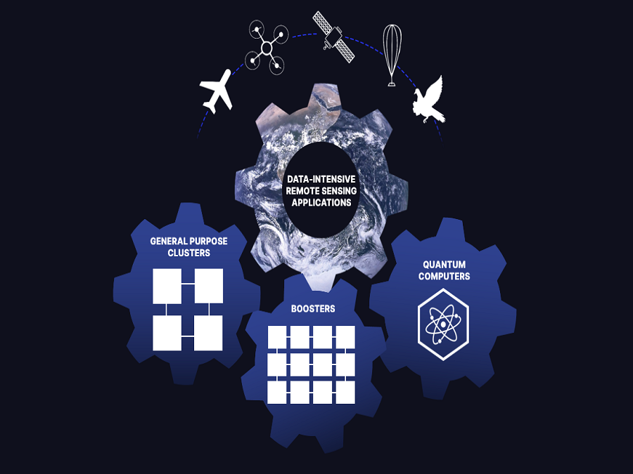
Comprehending Remote Sensing
Information about a thing or phenomenon is gathered via remote sensing without making physical touch. Among the instruments used in remote sensing include satellites, airplanes, drones, and ground-based sensors. These devices record information at different wavelengths, including optical, infrared, and microwave, giving us a thorough understanding of the surface of the planet.
Traditional remote sensing’s shortcomings
Even while conventional remote sensing methods have shown to be beneficial, they struggle to effectively handle the massive volumes of data produced and extract insightful information. Manual analysis takes a lot of time and is frequently unfeasible, particularly when working with large datasets. Here, machine learning enters the picture to improve and expedite the procedure.
Machine learning’s role:
Machine learning algorithms are particularly good at identifying trends in data and forecasting future events. They can detect changes, classify land cover, automate operations, and even forecast future trends when applied to remote sensing data. By incorporating machine learning into remote sensing workflows, we may improve the speed and accuracy of data interpretation, leading to a significant advancement in our comprehension and control of our surroundings.
Machine Learning Applications in Remote Sensing
Classification of Land Cover: Using satellite imagery, machine learning algorithms can identify different forms of land cover, such as agricultural land, forests, urban areas, and water bodies. Resource management, urban planning, and environmental monitoring all depend on this knowledge.
Change Detection: Monitoring deforestation, urbanization, and natural disasters are just a few of the applications that depend on the ability to identify changes in the terrain over time. Historical satellite data can be analysed by machine learning algorithms to find and highlight noteworthy changes.
Crop Monitoring: The combination of machine learning and remote sensing is beneficial to precision agriculture. By predicting yields, maximizing resource allocation, and keeping an eye on crop health, these technologies help farmers engage in productive and sustainable agricultural methods.
Disaster Response: Prompt information is essential for response activities in the event of a natural disaster, such as floods or wildfires. Real-time satellite imagery can be processed by machine learning models to determine the level of damage, pinpoint affected areas, and prioritize the distribution of help.
Environmental Modelling: By absorbing data from remote sensing, machine learning makes it easier to create complex environmental models. These models support evidence-based decision-making by assisting researchers in simulating and comprehending complicated processes, such as the effects of climate change.
Conclusion
The integration of machine learning and remote sensing signifies a paradigm change in how we analyse and interpret data. This strong partnership not only makes conventional approaches more effective, but it also opens up new avenues for comprehending and solving difficult problems. In an era of unparalleled technical progress, the combination of machine learning with remote sensing is evidence of our capacity to use innovation for the benefit of society. The combination of these two game-changing technologies illuminates the path toward a more sustainable and informed future.
Data processing and interpretation are changing due to a transformative synergy at the dynamic confluence of remote sensing and machine learning. This formidable coalition not only surmounts customary obstacles but also catapults us into a domain of unparalleled efficacy and comprehension. Precision agriculture, quick catastrophe response, and automated land cover classification are just a few of the many uses. The researchers now plan to develop more advanced models to automatically differentiate between conditions pertaining to likely flooding, deforestation, natural disasters, and changes in leaf colors determining specific factors, among others. There is also a plan to develop more advanced models that are capable of handling much more complex data to even combat climate change and detect leaks of harmful gases.
The combination of machine learning and remote sensing seems as a trailblazer of innovation as we march into a time characterized by technological superiority. It’s more than just a convergence of tools—it’s a step toward a future in which real-time data informs decisions, deepens our understanding of the world, and dramatically expands our capacity to tackle difficult problems.
Source
- https://www.bitsathy.ac.in/revolutionizing-remote-sensing/
- https://ts2.space/en/the-transformational-power-of-ai-in-satellite-imaging-analytics/
- https://www.cnbc.com/2018/12/19/cloud-constellation-raises-100-million-to-store-cloud-data-in-space.
- htmlhttps://nssdc.gsfc.nasa.gov/nmc/spacecraft/display.action?id=2022-002K