
Revolutionizing Remote Sensing: AI-Powered Satellite Analysis for Rapid Insights
Machine learning (ML) and remote sensing technologies facilitate many applications that require the large amounts of spatial and spectral data required for pattern recognition. ML uses algorithms through computer systems, computer vision, and deep learning to collect and identify features in the environment with precision and speed.
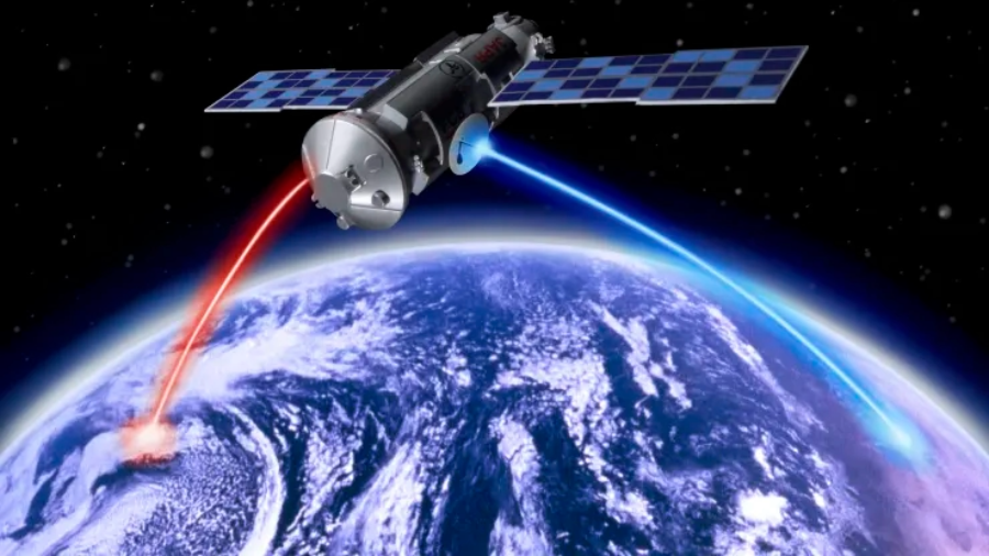
Remote sensing with Machine Learning is highly beneficial for analyzing data from more than 700 imaging satellites that are orbiting the Earth. Every day vast collections of information include data that reflects climate change, health, weather forecasting, disaster management, land use, and poverty. The time constraint is the main challenge while disseminating the analyzed data to databases on the ground.
The researchers from the University of Oxford’s Department of Computer Science in England have trained a machine learning algorithm to analyze and send the data directly to the ground station. They utilized the ION-SCV 004 satellite, deployed by D-Orbit, an Italian company, and launched by NASA in January 2022.
The first machine learning program trained by the researchers has become a significant milestone for outer space remote sensing purposes. This idea was successfully pitched under the mission “Dashing Through The Stars” in which the proposals were called to explore new projects on board the satellite. On being cleared the researchers uplinked the machine learning code for the remote sensing application program onto the satellite in the autumn of 2022.
The developed machine learning model called RaVAEn was specifically trained to detect the cloud cover changes. The captured images are compressed in vectors of 128 numbers which makes the model more efficient and faster. During the on-ground training phase, the model learned to retain informative cloud cover data, and subsequently, it gained the ability to detect changes in cloud cover directly aboard the satellite in contrast to training on the ground.
Model training is the primary step in machine learning, resulting in a working model that can then be validated, tested, and deployed with extensive rounds of training. RaVAEn, a tiny effective model completed its training on 1,300 images in just 1.5 seconds which resulted in a fast training classification model, a notable improvement over traditional machine learning models. The model is developed based on Few-Shot Learning which enables the model to learn the important features irrespecive of the sample count. Furthermore, the developed model could automatically detect the presence of cloud in around a tenth of a second which includes encoding and analyzing an area equivalent to almost 450 football grounds of about 4.8 x 4.8 km2 area.
Professor Andrew Markham/Computer Science and Engineering from the University of Oxford exposed the potential of machine learning in the enhancement of remote sensing. He cited that Pushing intelligence into satellites will enhance sense-based sensing autonomously. This in turn helps in overcoming the inherent delay issues between acquisition and action by making the satelite learn the insights on board from collected data.
Establishing Artificial Intelligence(machine learning) in outer space helps in overcoming the challenges of onboard satellite sensors that have been affected by the harsh environmental conditions that need regular calibration. The proposed system is flexible to adapt to different tasks and capable of using various forms of data. It is used in non-homogeneous satellite constellations in which reliable information from one satellite can be portable to train the rest of the constellations. For example, Recalibrating the data from sensors that are degraded over time or experienced rapid changes in the environment.
The research was presented at the International Geoscience and Remote Sensing Symposium (IGARSS) conference in July 2023. This project was conducted in collaboration with the European Space Agency (ESA) Φ-lab via the Cognitive Cloud Computing in Space (3CS) campaign and the Trillium Technologies initiative Networked Intelligence in Space (NIO.space) and partners at D-Orbit and Unibap. It has been summarised in a pre-print publication ‘Fast model inference and training on-board of Satellites’ available at arXiv.
Future Plan
They also aim to develop a machine learning model to process more complex data such as hyperspectral satellite images for specific tasks such as the detection of harmful gases (methane leaks) and combatting climate change.
Sources
- https://ts2.space/en/the-transformational-power-of-ai-in-satellite-imaging-analytics/
- https://www.cnbc.com/2018/12/19/cloud-constellation-raises-100-million-to-store-cloud-data-in-space.html
- https://nssdc.gsfc.nasa.gov/nmc/spacecraft/display.action?id=2022-002K
- https://www.satimagingcorp.com/applications/artificial-intelligence-ai/machine-learning-ml/